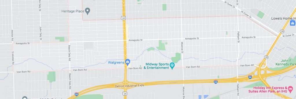
The city of Dearborn Heights approved a contract March 22 for an aerial survey of the Ecorse Creek Channel in the city using an unmanned drone in order to identify flow restrictions throughout the creek.
By ZEINAB NAJM
Times-Herald Newspapers
HEIGHTS — The city approved a contract March 22 for an aerial survey of the Ecorse Creek Channel using an unmanned drone in order to identify flow restrictions throughout the creek.
Wade Trim’s proposed project to complete the aerial mapping for the creek within Dearborn Heights and provide flow enhancement recommendations will cost $13,150.
The field visit and data collection will cost $2,850, post processing and file transfer costing $1,400, and the summary report costing $8,900.
According to the proposal letter, Wade Trim will complete the services within two weeks of the authorization with field data taking approximately two days, post-processing of data approximately seven days, and the summary report detailing restriction locations and recommendations totaling 60 hours.
City Engineer Ali Dib said the city received five proposals where the consultants were asked to provide a real time kinematic geo-located survey.
“Meaning we wanted to be able to recognize from that survey the areas of interests on the creek, and that is, to my knowledge, the first time that’s been done,” he said. “This is as close to a stream engineering survey as you can possibly get from the sky at a much less cost.
Other bids for the project ranged from $18,750 to $26,550.
The run of the creek from Inkster Road to the Southfield Freeway is set to be covered.
“What we wanted to do was concentrate on areas of interests to augment the data we already have,” Dib said.
During the discussion, Dib said Mayor Bill Bazzi recently brought to his attention that there is a United States Geological Survey station.
“The federal government monitors flood locations in critical locations on the Ecorse Creek that at least I wasn’t aware of,” he said. “So the data was not being used, so what we’re trying to do now is to collect all available data and put it to use.
“That is going to give us a lot of good information. It’s going to extend 125 feet from centerline of the creek in both directions so we’re looking at trying to improve the areas of interest.”
The USGS stream gauging station is located in the creek’s water and does a 15-minute monitor of the water providing information on what the height and water elevation is, Dib said. After the station creates data drafts, it then keeps track of the daily, weekly, and annual data.
Dib explained that the data from USGS and Federal Emergency Management Agency indicated the presence of no issues upstream or downstream.
“We were the only location and this is surprising to me,” he said. “Most of the trouble is associated with flooding. In fact, it was even concentrated and mostly west of Telegraph Road.”
(Zeinab Najm can be reached at [email protected].)