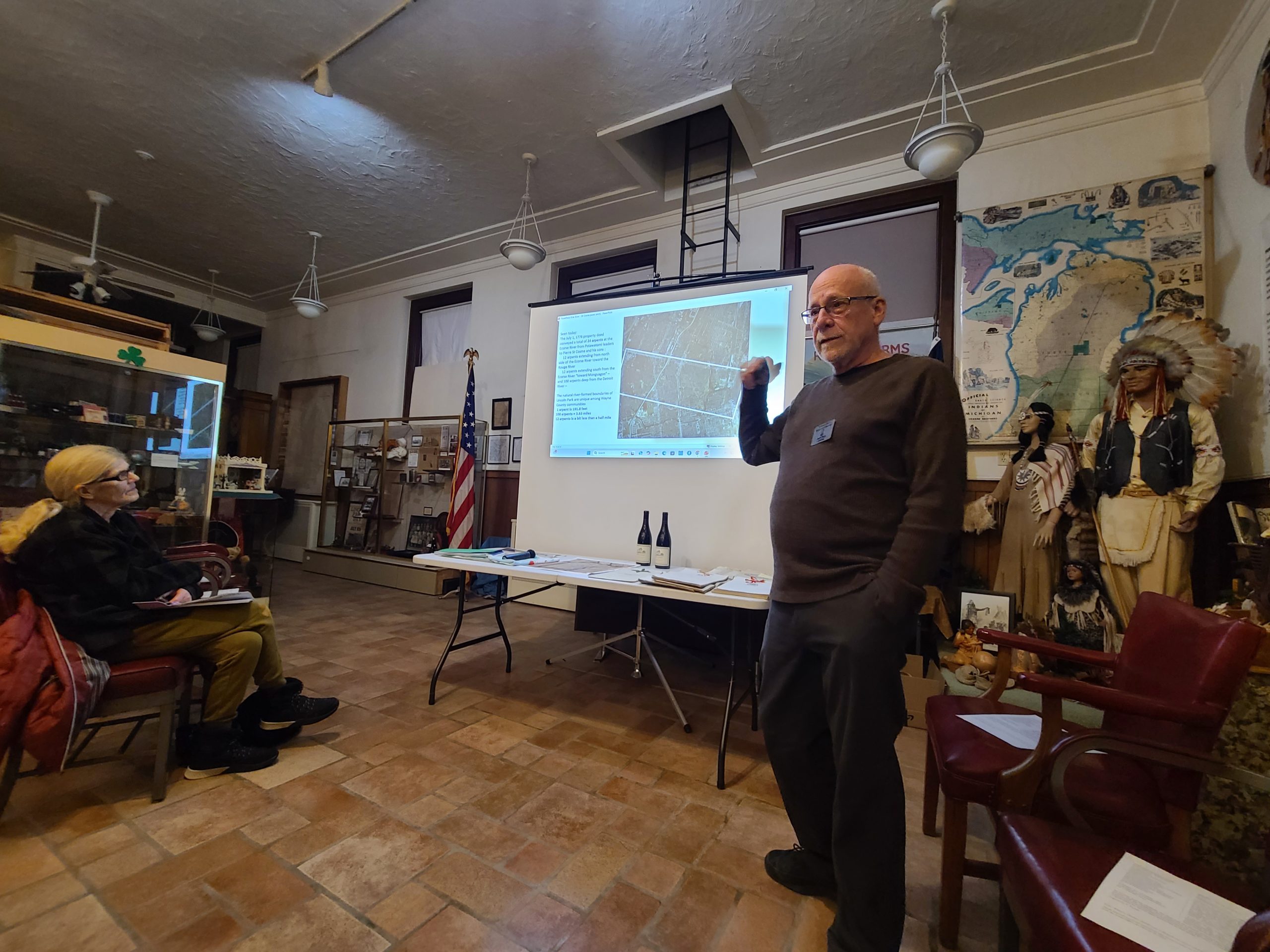
Lincoln Park Historical Museum Curator Jeff Day presents information about the area’s ribbon farms March 11 at the museum, 1335 Southfield Road.
By SUE SUCHYTA
Sunday Times Newspapers
LINCOLN PARK – Historical Museum Curator Jeff Day led listeners back in time March 11 to learn about how wars and ribbon farms designed to share river frontage for water access shaped Downriver.
“This land of Pierre St. Cosme outlined on the maps did not just become Lincoln Park but also became parts of the cities of Ecorse, Wyandotte and Allen Park,” he said as he began the presentation.
Pierre Laurent St. Cosme (“san comm”), born in 1721 in Quebec, came to Detroit in the 1740s.
In 1750, much of North America was under the rule of the French crown, with English colonies on the East Coast, and Spain controlling Florida and parts of the Southwest.
In 1760, at the end of the French and Indian War, the Treaty of Paris awarded all of New France and Canada to England, except for the Louisiana territory and New Orleans.
At the same time, Spain ceded Florida to Britain.
St. Cosme served as a civil magistrate in Detroit until 1763, under the French crown, and the year in which the Treaty of Paris was signed. The British gained control of New France and Detroit in 1760 at the close of the French and Indian War.
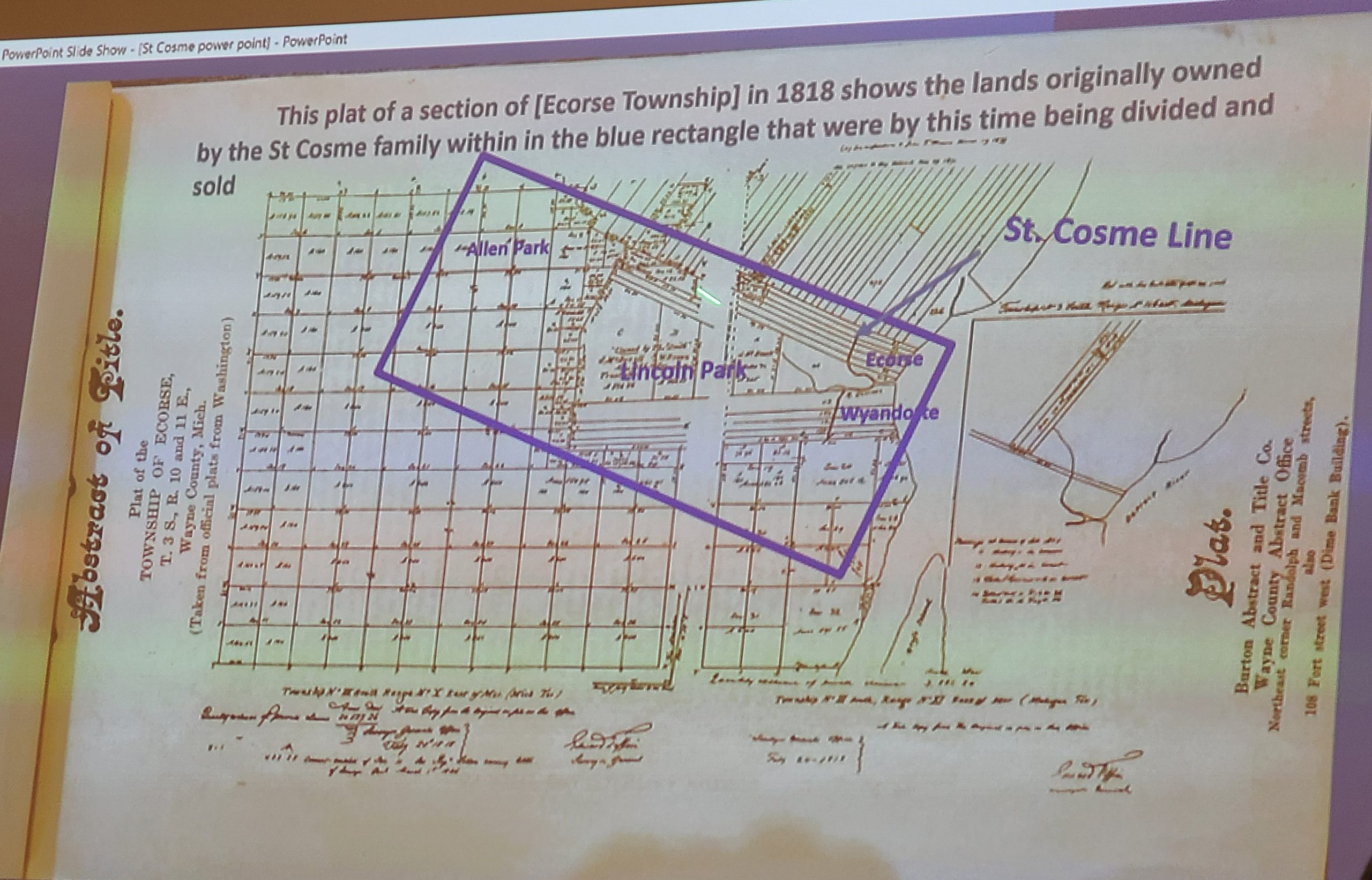
An 1818 plat map of Ecorse Township shows the St. Cosme family land that eventually became part of Allen Park, Lincoln Park, Ecorse and Wyandotte.
King George III of Britain proclaimed in 1763 that the lands west across the Alleghany Mountains belonged to the indigenous peoples of North America, and restricted the colonists from moving there as a response to the uprisings of the Pontiac Wars against the British forts.
St. Cosme received a 4,000-acre land deed in July 1776 from the chiefs of the Potawatomi at the River aux Ecorse, in an area that encompassed parts of present day Allen Park, Lincoln Park, Ecorse and Wyandotte.
He established long, narrow agricultural plots, or ribbon farms, often 250 feet wide by up to three miles long.
These farm tracts influenced Lincoln Park’s present day street grid. In addition, from the Detroit River to the end of the tract was the St. Cosme Line Road.
The Lincoln Park business district sprang up around the intersection of St. Cosme Line and Fort Street.
Day said that in 1923, as Lincoln Park was on the fast track to becoming a city, St. Cosme Line Road was renamed State Street, and in the 1930s it became known as Southfield Road.
He said that many of the current Lincoln Park subdivisions are on land once owned by St. Cosme.
Day is on a quest to learn if any descendants of the Cosme family can be reached to learn more about the family’s history.
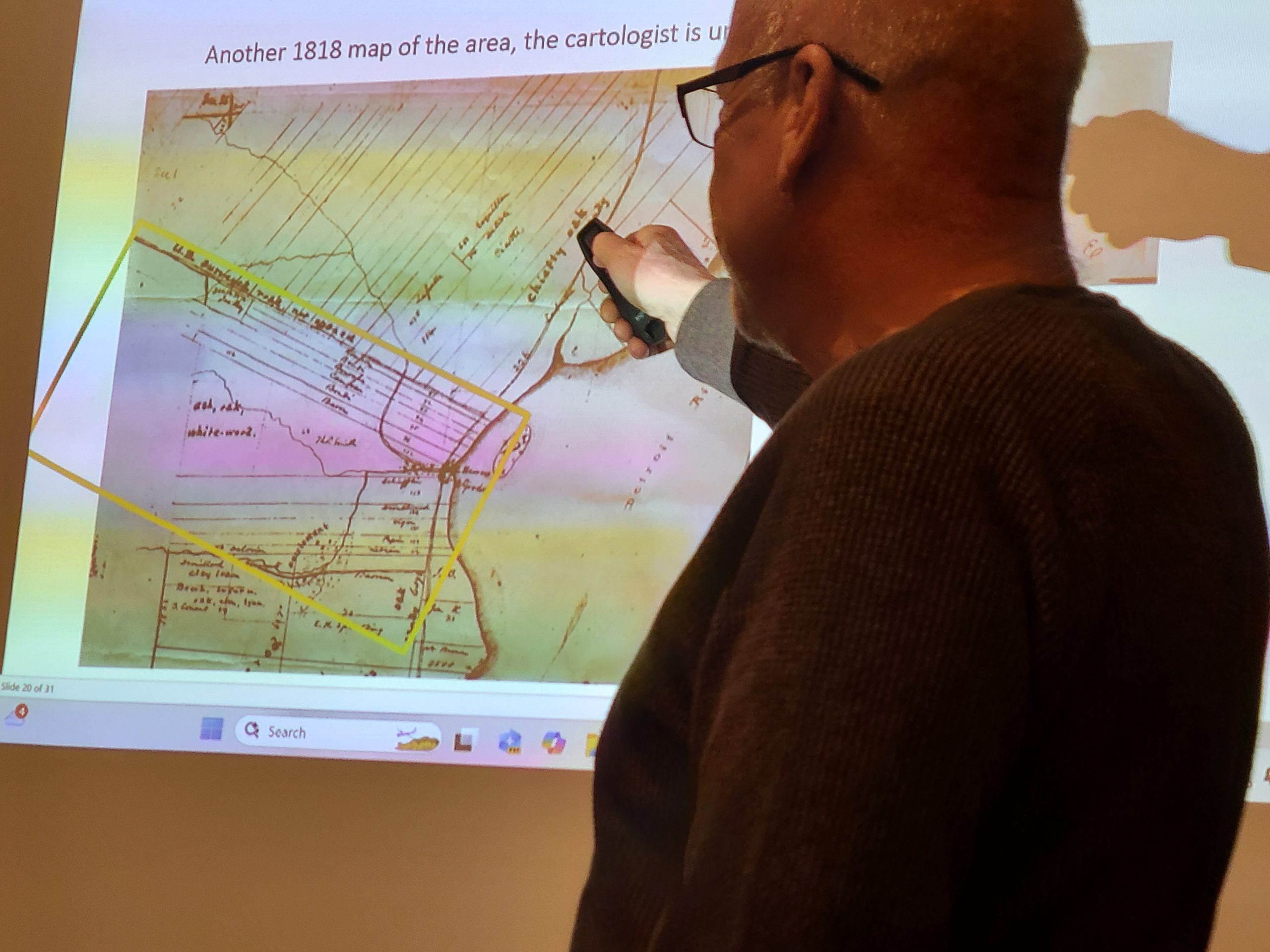
Lincoln Park Historical Museum Curator Jeff Day shows an 1818 map of early area ribbon farms during a March 11 presentation at the museum, 1335 Southfield Road.